Notebooks
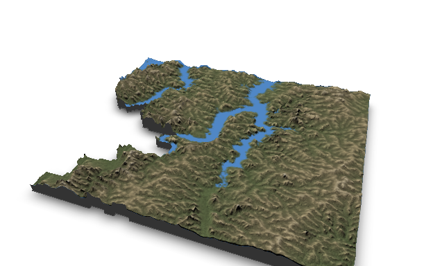
Visualizing Water: Interactive 3D Map of River Basins (draft)
Part 3: how to represent water flux over 3D maps of river basins using WebGL.
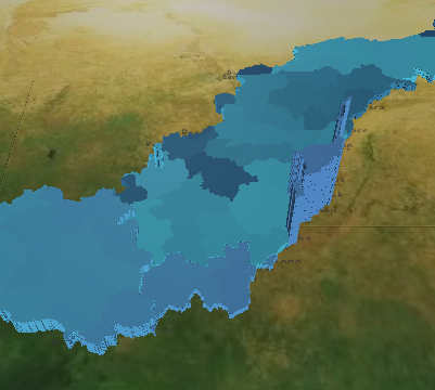
Visualizing Water: 3D Rendering of River Basins (draft)
Part 4: how to represent water flux over 3D maps of river basins using Deck.gl.

Visualizing Water: Interactive SVG with D3.js (draft)
Part 1: add interactivity to IWMI's printable WA+ sheets.
Merge Ground and Satellite Observations with RFMerge
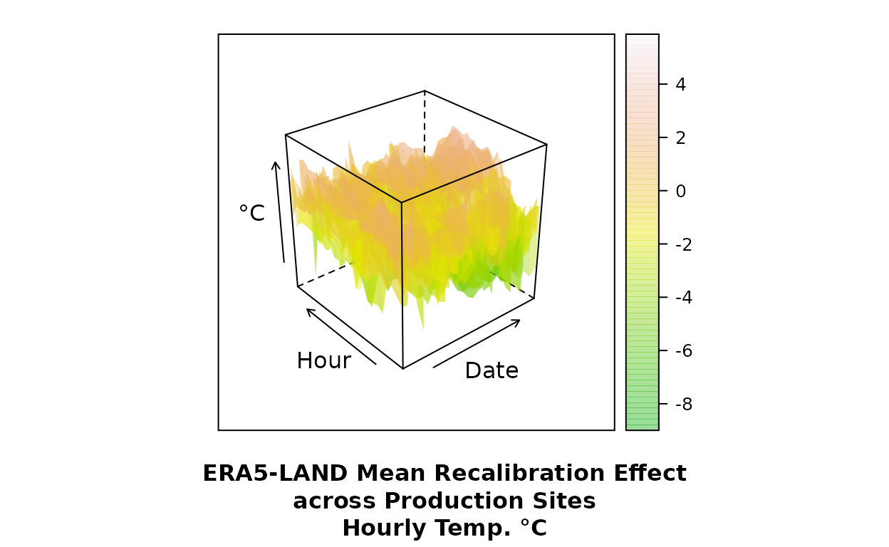
Recalibrate ERA5 hourly temperatures to CIMIS network ground observations.
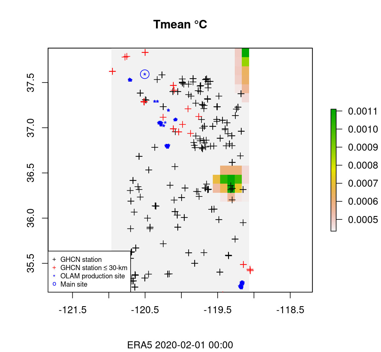
ERA5-LAND Temperature Validation (California)
Can we justify winter Y2017 corrections to ERA5-LAND temperature grids over central California?